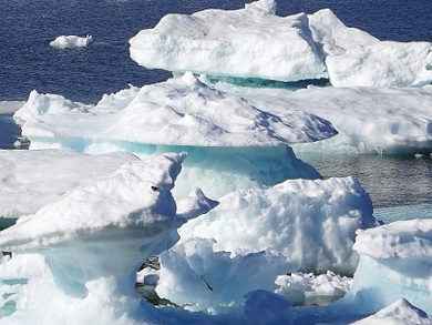
In the winter, the Arctic sea ice covers an area of 14–16 million km². The number of cracks and leads in this ice coverlargely influences the amount of heat and substances exchanged between the ocean and the atmosphere. Although leads in the sea ice cover play a key role in the arctic climate system, a realistic computer model configuration for simulation was missing.
Scientists from the Alfred-Wegener-Institute (AWI), Bremerhaven, and the University of Hamburg, both Germany, have succeeded in realistically simulating the spatial and temporal variation of large channels in the Artic sea ice in a computer model. The researchers increased the resolution for the simulation of the global AWI sea-ice model FESOM (Finite Element Sea-ice Ocean Model) in the arctic from 111 km to some 4 km per grid point and they improve the numerical solution when solving the mathematical equation.
The model results were found to be consistent with satellite remote sensing data by comparing simulation data for the Beaufort Sea, the Kara Sea, the Laptev Sea, and the Fram Strait with real sea-ice satellite data from the regions. Moreover, the results of the computer model confirm the underlying physical theory for describing the relationship between the acting forces and the deformation of the sea-ice.
According to the researchers, the improved AWI sea-ice ocean model has potential application for improved climate projections, weather forecasts, and practical maritime issues.
- Sea ice leads in the Arctic Ocean: Model assessment, interannual variability and trends,
Q. Wang, S. Danilov, T. Jung, L. Kaleschke, A. Wernecke,
Geophys. Res. Lett. 2016.
DOI: 10.1002/2016GL068696
The video shows Arctic sea ice from a FESOM 4.5 km resolution simulation. Concentration is shown with color; thickness is shown with shading.